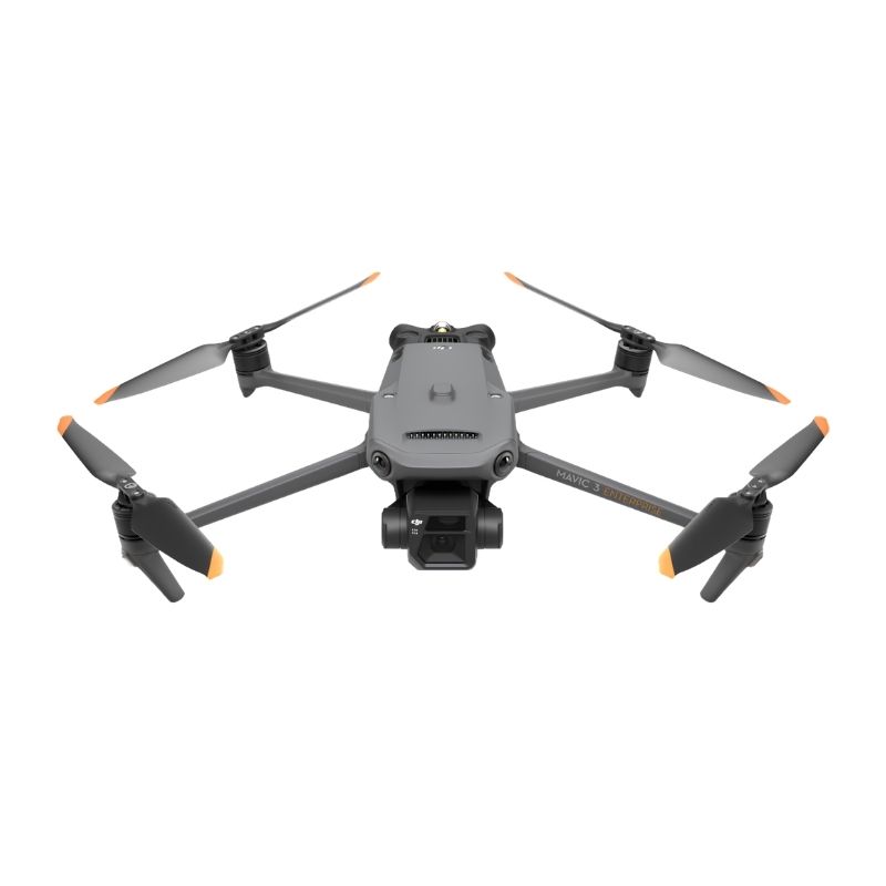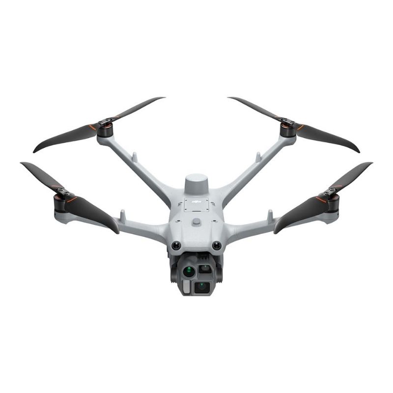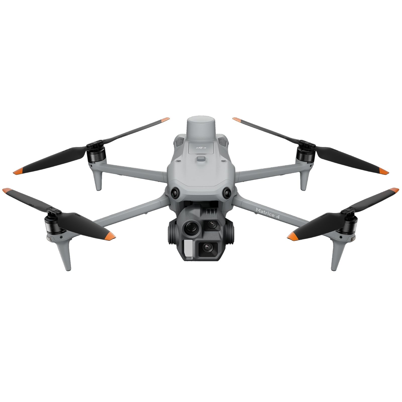
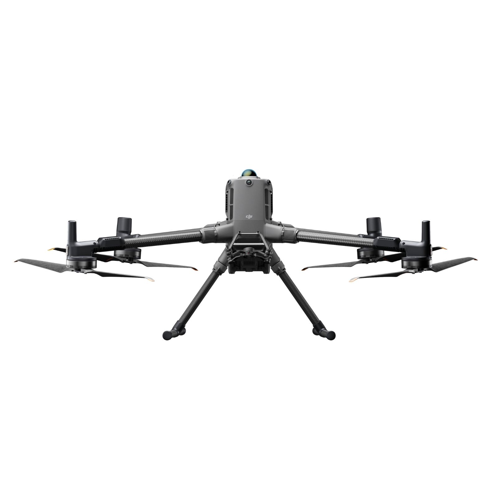
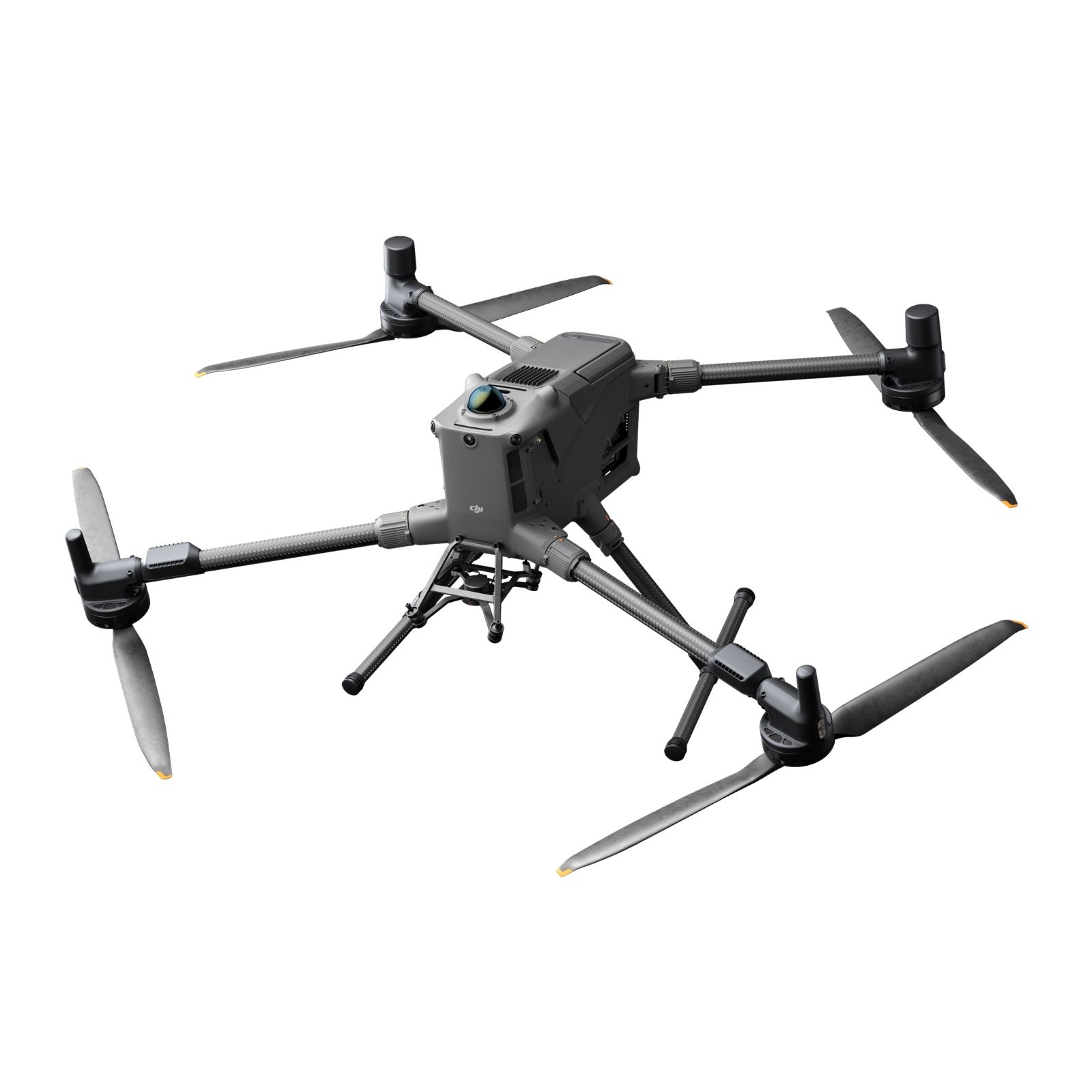
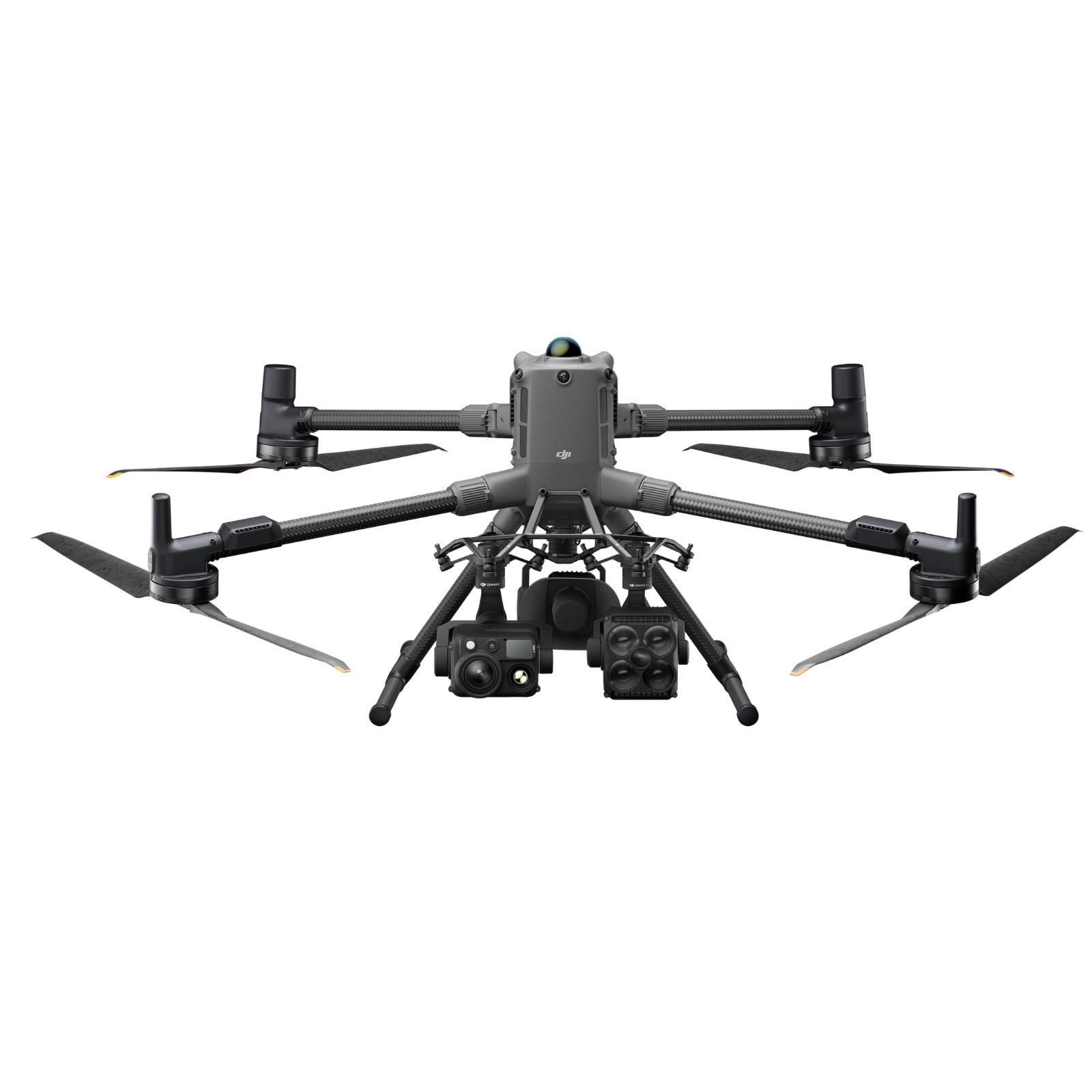
El DJI Matrice 400, la plataforma insignia de drones empresariales, presume de un impresionante tiempo de vuelo de 59 minutos, una capacidad de carga útil de hasta 6 kg, y radar LiDAR rotatorio integrado y mmWave para la detección de obstáculos a nivel de línea eléctrica. También es compatible con la Transmisión de Vídeo Mejorada O4 Enterprise y la Transmisión de Vídeo por Relé Aéreo, asegurando una manipulación más segura y operaciones más sencillas. Combinando la Detección Inteligente con imágenes visibles y térmicas, proyección AR, despegue/aterrizaje desde barcos y automatización avanzada, el Matrice 400 destaca en respuesta a emergencias, inspecciones energéticas, mapeo y AEC.
DJI Matrice 400, la plataforma dron insignia para empresas, cuenta con un impresionante tiempo de vuelo de 59 minutos, una capacidad de carga de instrumentos de hasta 6 kg, LiDAR rotativo integrado y radar mmWave para la detección de obstáculos a nivel de las líneas eléctricas. También es compatible con el sistema de transmisión de video mejorado O4 Enterprise y la transmisión de video de relevo aéreo, lo que garantiza un manejo más seguro y operaciones más sencillas. Al combinar detección inteligente con imágenes visibles y térmicas, proyección AR, despegue/aterrizaje en barcos y automatización avanzada, Matrice 400 se destaca en casos de respuesta a emergencias, inspecciones de energía, mapeo y AEC.
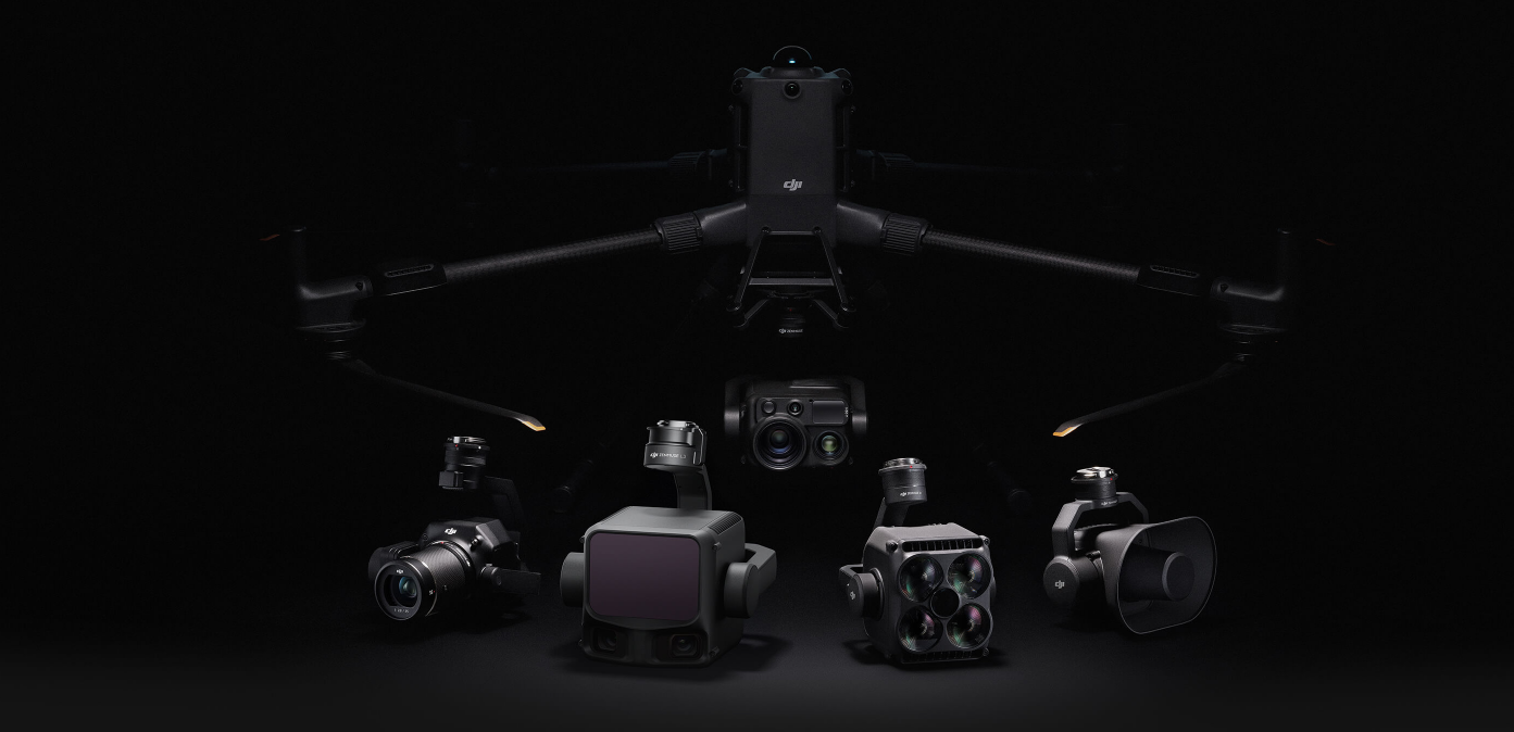
Las capacidades de vuelo de Matrice 400 son excepcionales, ya que ofrecen hasta 59 minutos de tiempo de vuelo hacia adelante incluso con carga, y hasta 53 minutos de duración de vuelo estacionario [6]. Estas capacidades lo convierten en una herramienta confiable para operaciones continuas de larga duración como búsqueda y rescate, extinción de incendios y mapeo a gran escala. También puede evitar grandes obstáculos [3] como edificios y montañas a velocidades de vuelo de hasta 25 m/s.
Tiempo máximo de vuelo
Velocidad de vuelo
Tiempo máximo de vuelo
Carga útil
Grado de protección IP
Temperatura de funcionamiento
| Peso de despegue (con hélices) | Sin baterías: 5020 ± 20 g El peso real del producto puede variar debido a diferencias en los materiales de los lotes y a factores externos. |
| Peso máx. de despegue | 15.8 kg |
| Dimensiones | Desplegado: 980 × 760 × 480 mm (la. × an. × al.) (con tren de aterrizaje) Dimensiones máximas, sin contar las hélices. Dimensiones del estuche de la aeronave: 779 × 363 × 528 mm (la. × an. × al.) |
| Carga útil máx. | 6 kg La capacidad de carga de instrumentos de 6 kg se mide en el tercer conector del estabilizador en condiciones a nivel del mar. La capacidad de carga de instrumentos disminuye a medida que aumenta la altitud. Para obtener detalles, consulta el manual de usuario oficial. |
| Tamaño de la hélice | 25 pulgadas |
| Distancia diagonal entre ejes | 1070 mm |
| Velocidad máx. de ascenso | 10 m/s |
| Velocidad máx. de descenso | 8 m/s |
| Velocidad horizontal máx. (al nivel del mar, sin viento) | 25 m/s |
| Altitud máx. de despegue | 7000 m |
| Tiempo máx. de vuelo (sin viento) | 59 minutos* * Medido con la aeronave volando hacia adelante a una velocidad constante de 10 m/s en un entorno sin viento al nivel del mar, transportando solamente el H30T (peso total 10 670 g), hasta un aterrizaje forzoso debido al agotamiento de la batería. Los datos son solo de referencia. La experiencia real puede variar en función del entorno, el uso y la versión del firmware. |
| Tiempo máx. de vuelo estacionario (sin viento) | 53 minutos Medido con la aeronave en vuelo estacionario en un entorno sin viento al nivel del mar, transportando solamente el H30T (peso total 10,670 g), y desde el 100 % del nivel de batería hasta el 0 %. Los datos son solo de referencia. El tiempo de uso real puede variar en función del entorno, el uso y la versión del firmware. |
| Distancia máx. de vuelo (sin viento) | 49 km Medido con la aeronave volando hacia adelante a una velocidad constante de 17 m/s en un entorno sin viento a nivel del mar, desde el 100 % del nivel de batería hasta el 0 %. La experiencia real puede variar en función del entorno, el uso y la versión del firmware. |
| Resistencia máx. al viento | 12 m/s Resistencia máx. al viento durante el despegue y el aterrizaje. |
| Velocidad angular máx. de guiñada | Guiñada: 100°/s |
| Ángulo de inclinación máx. | 35° |
| Temperatura de funcionamiento | -20° a 50° C (sin radiación solar) |
| Sistemas globales de navegación por satélite | GPS + Galileo + BeiDou + GLONASS* *GLONASS solo es compatible cuando el módulo RTK está activado. Gracias al receptor ADS-B por aire estándar y antenas duales, admite recepción hasta 20 km. |
| Rango de precisión de vuelo estacionario (con viento moderado o sin viento) | Vertical: Horizontal: |
| Precisión de GNSS de RTK | RTK fijo: |
| Dirección RTK | Admite dirección RTK con una precisión mejor que 2° |
| Recepción de ADS-B por aire | Gracias al receptor ADS-B por aire estándar y antenas duales, admite recepción hasta 20 km. |
| Memoria interna | N/A |
| Puertos | Puerto de depuración USB-C × 1: USB 2.0 |
| Modelo de hélice | 2510F |
| Baliza | Integrada en la aeronave |
| Índice de protección de entrada | IP55 El índice de protección IP no es efectivo permanentemente y puede disminuir debido al desgaste del producto. |
| Modelo de motor | 7510 |
| Pantalla | Pantalla táctil LCD de 7,02 pulgadas; resolución: 1920×1200; Brillo máximo: 1200 nits |
| Peso | Aprox. 1,25 kg (sin batería WB37) |
| Sistema Global de Navegación por Satélite | GPS + Galileo + BeiDou |
| Batería incorporada | Tipo: Ion de litio (6500 mAh@7,2 V) |
| Batería externa (Batería Inteligente WB37) | Capacidad: 4920 mAh |
| Clasificación de Protección contra Entrada | IP54 |
| Horario de funcionamiento | Batería incorporada: aprox. 3,3 horas |
| Temperatura de funcionamiento | -20° a 50° C (-4° a 122° F) |
| Frecuencia de funcionamiento | 2,4000-2,4835 GHz |
| Potencia del transmisor (EIRP) | 2,4000-2,4835 GHz: 5,725-5,850 GHz: |
| Protocolo Wi-Fi | Wi-Fi 6 |
| Frecuencia de funcionamiento del Wi-Fi | 2.4000-2.4835 GHz |
| Protocolo Bluetooth | Bluetooth 5.1 |
| Frecuencia de funcionamiento de Bluetooth | 2,4000-2,4835 GHz |
| Sistema de transmisión de vídeo | Transmisión DJI O3 Enterprise |
| Antena | 4 antenas de transmisión de vídeo, 2T4R |
| Distancia máxima de transmisión (sin obstáculos, sin interferencias) | 20 km (FCC) |
| Distancia máxima de transmisión (con interferencias) | Interferencias débiles y obstaculizada por edificios: aprox. 0-0.5 km |
| Rango de detección de obstáculos | Delantera/trasera/izquierda/derecha: 0.7-40 m |
| Campo de visión | Delantera/trasera/inferior: 65° (horizontal), 50° (vertical) |
| Entorno de funcionamiento | Superficies con patrones reconocibles y una iluminación adecuada (lux > 15) |
| Rango de detección de obstáculos | 0,1-8 m |
| Campo de visión | 30° (±15°) |
| Entorno de funcionamiento | Obstáculos grandes, difusos y reflectantes (reflectividad > 10%) |
| Distancia efectiva de iluminación | 5 m |
| Tipo de iluminación | 60 Hz, brillo sólido |
| Resolución | 1080p |
| Campo de visión | 142° |
| Tasa de fotogramas | 30fps |
| Modelo | TB65 |
| Capacidad | 5880 mAh |
| Voltaje | 44,76 V |
| Tipo | Li-ion |
| Energía | 263,2 Wh |
| Peso | Aprox. 1,35 kg |
| Temperatura de funcionamiento | -20° a 50° C (-4° a 122° F) |
| Temperatura de almacenamiento ideal | 22° a 30° C (71,6° a 86° F) |
| Temperatura de carga | -20° a 40° C (-4° a 104° F) |
| Tiempo de carga | Con una fuente de alimentación de 220V, se tarda aproximadamente 60 minutos en cargar completamente dos baterías inteligentes TB65 y aproximadamente 30 minutos en cargarlas entre un 20% y un 90%. |
| Dimensiones | 580×358×254 mm (L×A×A) |
| Peso neto | Aprox. 8,98 kg |
| Elementos almacenados compatibles | Ocho baterías |
| Tensión de entrada | 100-120 VAC, 50-60 Hz |
| Potencia máxima de entrada | 1070 W |
| Potencia de salida | 100-120 V: 750 W |
| Temperatura de funcionamiento | -20° a 40° C (-4° a 104° F) |
Los términos HDMI, HDMI High-Definition Multimedia Interface, HDMI Trade Dress y los logotipos HDMI son marcas registradas o marcas registradas de HDMI Licensing Administrator, Inc. |
Depende del país y del uso. En muchos casos, para uso recreativo no necesitas permisos, pero sí debes cumplir normas básicas (no volar sobre personas, respetar alturas máximas, etc.). Para uso profesional, generalmente se requiere registro del drone y licencia de piloto. Siempre recomendamos revisar la normativa local vigente antes de volar.
La mayoría de drones comerciales tienen una autonomía entre 20 y 40 minutos por batería, dependiendo del modelo, las condiciones climáticas y el tipo de uso (grabación, velocidad, etc.). Es recomendable contar con baterías adicionales para sesiones prolongadas.
Los drones actuales pueden grabar desde Full HD hasta 4K e incluso 5.1K en modelos avanzados. También incluyen estabilización de imagen y sensores de alta calidad, ideales para fotografía aérea profesional, videos inmobiliarios, inspecciones técnicas, entre otros.
La mayoría de drones modernos cuentan con sistemas de seguridad como el “Return to Home” (retorno automático), que hace que el drone regrese al punto de despegue si pierde señal o detecta batería baja. Esto reduce significativamente el riesgo de pérdida.
Sí, ofrecemos garantía contra defectos de fábrica y contamos con servicio técnico especializado. También brindamos mantenimiento, reparación y asesoría para asegurar el correcto funcionamiento de tu equipo a largo plazo.